Scenic drives in the Bitterroot Valley are one of the most popular activities for visitors.
Its a great way to experience all the Bitterroot Valley has to offer.
You can see 100’s of miles of some of Montana’s most beautiful areas in a day or two.
Our list of scenic drives in the Bitterroot Valley is a great starting point for planning your next visit.
Content may include affiliate links. As Amazon Associates, we earn from qualifying purchases at no cost to you
Bitterroot Valley Scenic Drives Worth Taking
The Bitterroot Valley has a bunch of scenic drives to choose from, heading in every direction.
Here’s a few of our favorites.
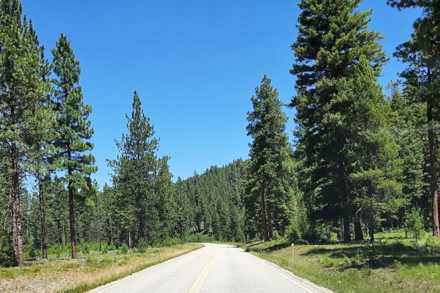
Bass Creek Overlook
Pack a lunch and enjoy the picnic area that is unofficially known as the Bass Creek Overlook.
This destination offers sweeping views of the Bitterroot Valley and Bitterroot Mountains.
Road to Bass Creek Overlook / Bitterroot Info
Travel 4 miles north of Stevensville, MT and turn west off of US 93 on to Bass Creek Road and follow to the Bass Creek Recreation Area.
Take FS Road 1136 to the end of the road for outstanding views of the Bitterroot Valley.
Big Hole Valley
Although this scenic drive isn’t really in the Bitterroot Valley, it’s one of our favorite scenic drives as the Big Hole Valley is unlike any other part of Montana.
Turn east on MT Highway 43 from US 93 at the Montana-Idaho border about 50 miles south of Hamilton.
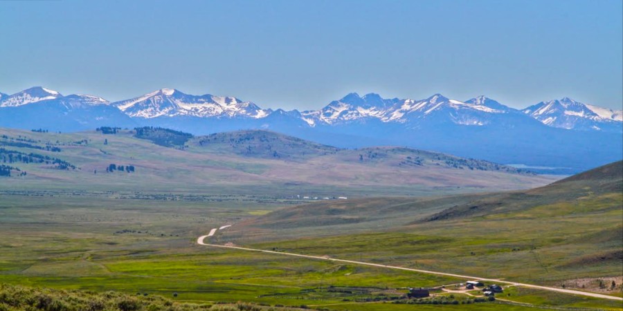
Big Hole Valley / Bitterroot Info
Head to Wisdom or Jackson for lunch, and jump in the hot springs at Jackson for a relaxing dip in the mineral pools.
Don’t forget to check out the Big Hole National Battlefield!
Eastside Highway
Most everyone uses Highway 93 when traveling north and south in the Bitterroot Valley.
But you may want to check out the East Side Highway (MT 269) while you are here.
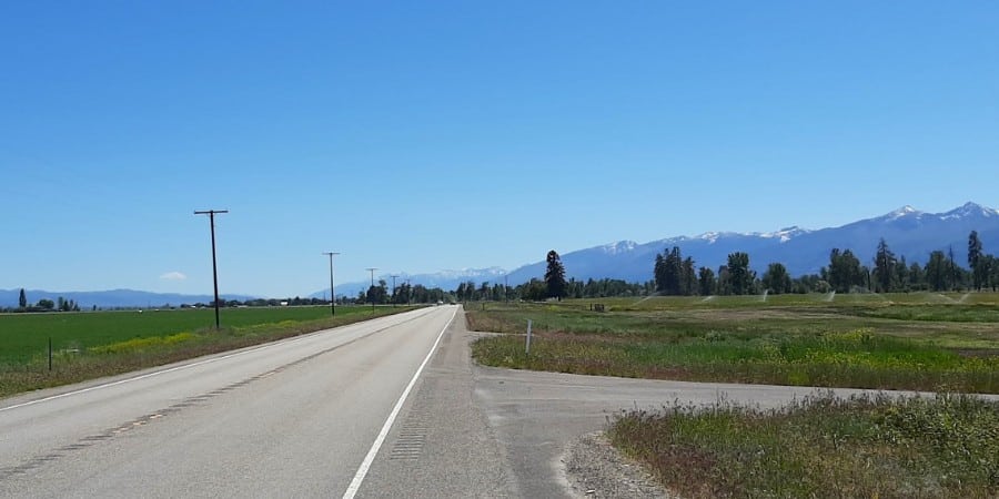
Eastside Highway / Bitterroot Info
This secondary highway passes through the towns of Corvallis and Stevensville, and traverses some of the beautiful historic farms and ranches of the Bitterroot Valley.
The views of the Bitterroot Mountains from this east side vantage point are some of the best in the area.
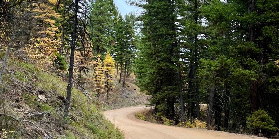
Magruder Corridor
This 101 mile primitive road winds through a vast undeveloped area.
The Corridor is much the same today as it was when used by the Nez Perce Indians and other early travelers.
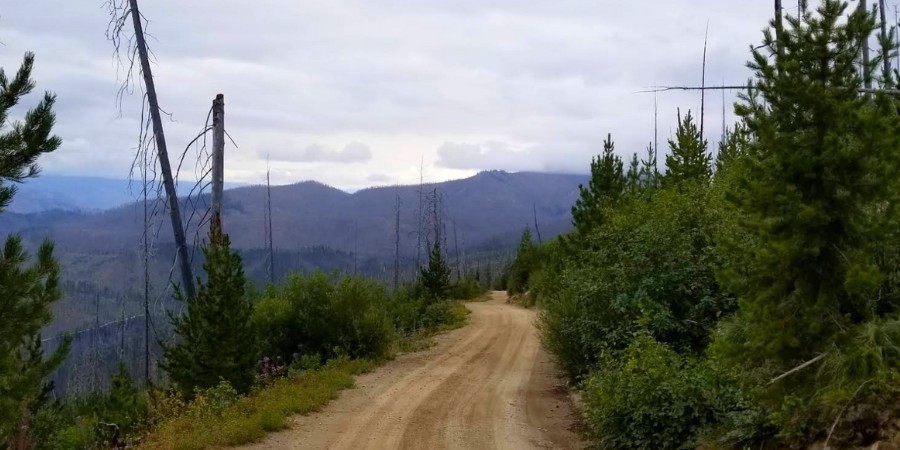
Magruder Corridor / Bitterroot Info
Turn off the West Fork Road at mile marker 15 onto the Nez Perce Road to access the Magruder Corridor road.
Do some research ahead of time and plan your drive carefully as this road heads way back into the wilderness.
The West Fork Ranger station on the West Fork Road is a great resource for more information.
popular articles on Bitterroot Info
Skalkaho Road
Head east from Hamilton on MT 38 for an adventurous drive over Skalkaho Pass.
Not for the faint of heart, this 45 mile drive climbs up and over the Sapphire Mountains and ends in Philipsburg, MT.
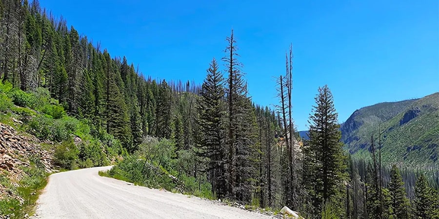
Skalkaho Road / Bitterroot Info
Take in Skalkaho Falls, then stop in and try your luck mining for gemstones at Gem Mountain before having lunch in “P-burg”.
Some opt to take the “long way around” on the way back. This route takes you through Missoula, MT before returning to the Bitterroot Valley from the north on Highway 93.
Trapper Peak Vista Point
From the Trapper Peak Vista Point you can see Trapper Peak, the tallest point in the Bitterroot Valley.
The Peak rises 6,000 feet above Trapper Creek to a height of 10,157 feet.
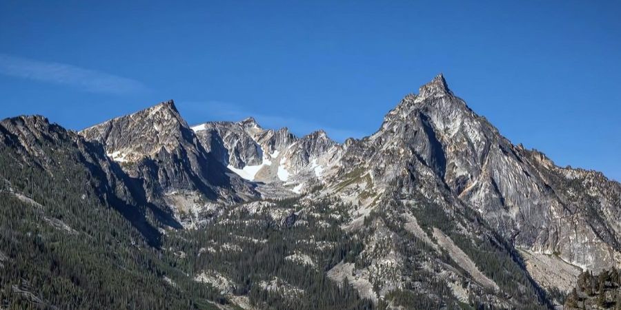
Trapper Peak / Bitterroot Info
Head southwest on the West Fork Road for 6 miles. Turn west on Trapper Main Road and follow for about 3 miles.
Make a left on FS Road #5627 and follow for about 2 miles to the end of the road for incredible views.
West Fork Road
This scenic drive is for all visitors to the Bitterroot Valley.
The West Fork Road follows the West Fork of the Bitterroot River, home to some of the best fly fishing in the area.
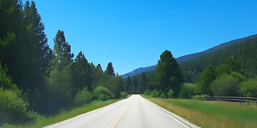
West Fork Road Near Darby, MT / Bitterroot Info
Head southwest on MT 473, located just 5 miles south of Darby.
Continue on the West Fork Road to Painted Rocks Reservoir, 25 miles up the canyon for beautiful views throughout this scenic drive.
Related Content
join us • Bitterroot Info