Take a scenic bike ride through the Bitterroot Valley

50 Miles and Several Charming Towns
Whether you jump on the Bitterroot Trail on its north end in Missoula, its south end near Hamilton, or anywhere in between, you’re in for a visual treat.
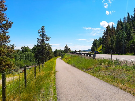
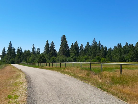
This 10 foot wide paved bike trail winds its way through 50 miles of some of Montana’s prettiest country.

Near Lolo, MT

Near Stevensville, MT
Enjoy impressive views of the Bitterroot and Sapphire Mountains as you ride alongside Highway 93, and be sure to check out the Bitterroot River which is never too far from the Trail.
The Trail passes through several Bitterroot Valley communities where you can grab a bite to eat and explore the local shops, or visit the local cultural attractions.
AFFILIATE DISCLOSURE
This article may include affiliate links. We may receive a commission if you purchase using these links at no additional cost to you. As an Amazon Associate, we earn from qualifying purchases.
Easy Access & Easy Riding
There are several Park-n-Ride lots along Highway 93, which makes access to the Bitterroot Trail easy and convenient.
Parking is free and Trail use is free, so it’s an affordable way to explore the Valley.
The grade of the Trail is generally mild and loses only a few hundred feet in elevation from Hamilton to Missoula, so it’s an easy ride.

Drinking water, restroom facilities and overnight camping are limited along the Bitterroot Trail.
Check out this page for a cool interactive map of the Trail with detailed information about what to find on the route as you plan your ride.
That’s a Good Question
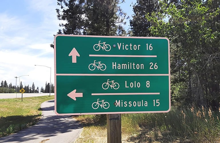
The north end is in central Missoula, MT where it intersects with Riverfront Trail.
The south end is at Angler’s Roost RV Park and Campground just south of Hamilton, MT.
No, there are no rental options along the Trail. However, many bike rental options are available in Missoula and the Bitterroot Valley.
Yes, the Trail is completely paved.
Additional Resources
The Trail is supported by the Bitterroot Trail Preservation Alliance and their website provides additional information about the Trail.
TrailLink hosts this page with even more Trail information.
